


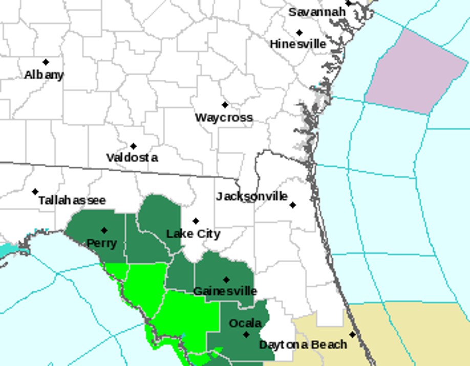
A Flood Watch continues for areas around Gainesville and Perry. Since Thursday, at least one weather station in Dixie County has picked up over a foot of rain. Concentrated heavier rainfall had struggled to reach inland communities. Model data is having a tough time figuring out exactly how this situation will evolve. However, as of 8AM Saturday, rainfall was spreading across at least some more of North Central Florida. Areas shaded in the darker green are under the Flood Watch (locations shaded in lime green show where flood warnings were in effect at the time of this posting):

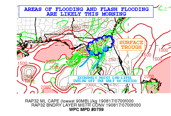
In an early morning discussion, the Weather Prediction Center (WPC) says that flooding and flash flooding is likely to occur across at least some parts of Northern Florida and the Florida Big Bend. Read: https://www.wpc.ncep.noaa.gov/metwatch/metwatch_mpd_multi.php?md=0759&yr=2019
An isolated community or two could receive around 7 inches of additional rainfall this morning. Even if totals are lower than what typically reliable forecast model HRRR is outputting, due to the saturated soil, even 3-5 more inches of rain could be problematic for some areas in and around Dixie and Levy counties. Remember, turn around, don’t drown.


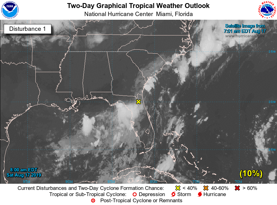
The National Hurricane Center is watching the weak surface trough causing heavy rain to occur. Formation chances are low. Even if this does develop, it would probably be after it moves away from North Florida and South Georgia.

Rain chances remain high into next week. The flood threat falls a bit, but a Marginal Risk for excessive rainfall still does cover the region.