
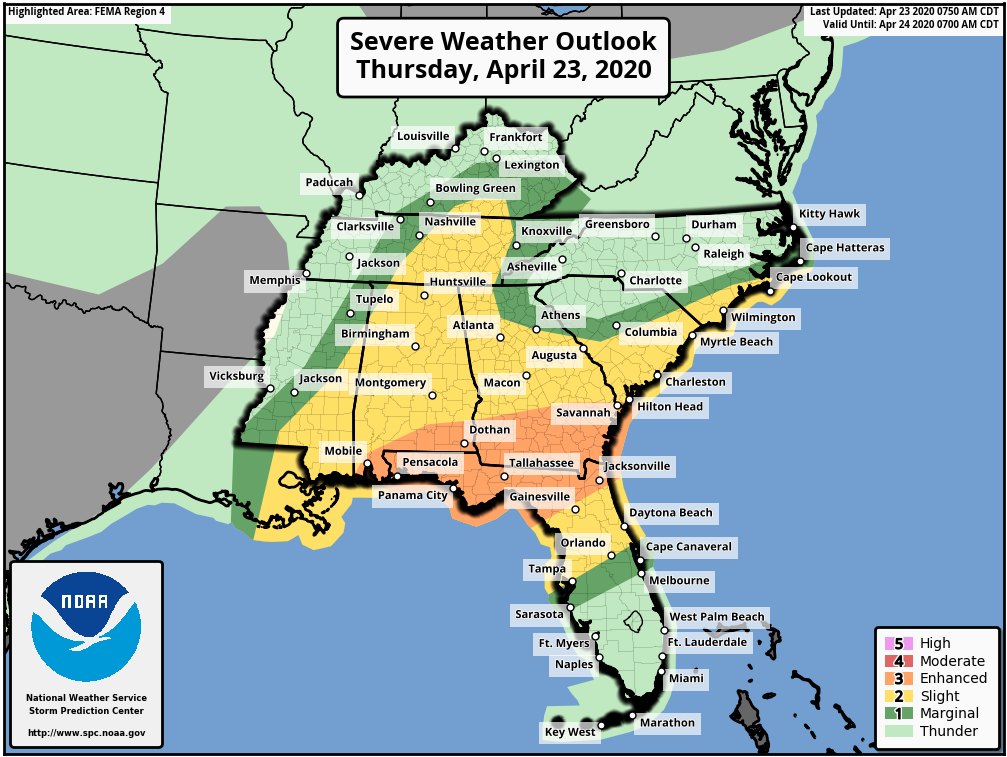
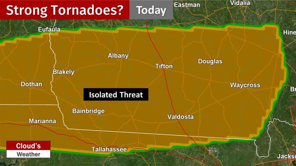
Albany, Tallahassee, Valdosta, and Waycross are all under an Enhanced Risk (3/5) for tornadoes and damaging wind gusts today. A Tornado Watch was recently issued for much of Southern Georgia and the Florida Big Bend. Isolated strong tornadoes will be possible in the highlighted area below.
Today’s SPC Strong Tornado Threat Zone:
The Enhanced Risk extends into Jacksonville, Lake City, and Starke for the damaging wind threat, but isolated tornadoes still cannot be ruled out.
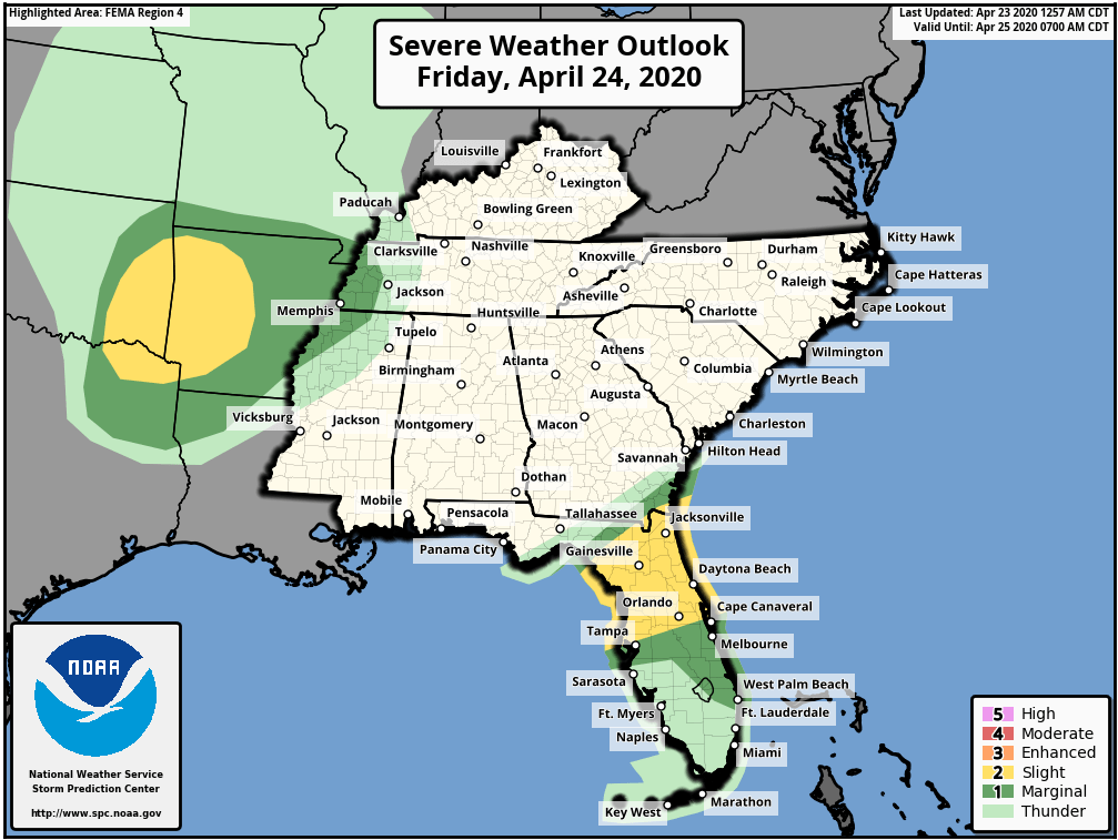
Like the most recent severe threat, forecast uncertainty is a big issue. However, there are indications that there will be multiple rounds of strong to severe storms. In the Jacksonville area, storms may hang around further into Friday.
Friday’s Severe Weather Outlook:
At times, winds are also gusty outside of showers and storms. Flash flooding could also become an issue. As needed, live coverage will be provided on Twitter for Tallahassee region concerns. Facebook is your source for Jacksonville area live video updates. If a situation develops where severe storms are continuing to move through both areas, coverage will likely stay on Twitter. To receive the latest local NWS alerts and statements, also follow @clouds_wx on Twitter. Recent radar images are available at cloudsweather.com/radars.
Charge up your devices. Have multiple ways to receive warnings.