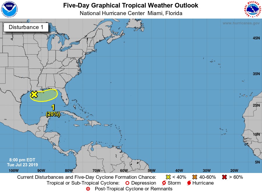
Tropical Depression 3 dissipated off the coast of Florida this morning, but the National Hurricane Center is now monitoring another area of disturbed weather. This one is centered in the Gulf of Mexico. While current probabilities for development are only at 20 percent, it is worth watching. Chantal is the next name on the 2019 Atlantic list.
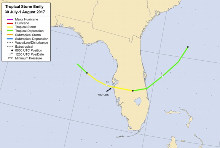
When frontal boundaries make it to the Gulf this time of year, an area of low pressure can develop that ultimately becomes a subtropical or tropical cyclone. This is due in part to the warm Gulf of Mexico waters. In July of 2017, Tropical Storm Emily (Image: NHC) quickly developed along a frontal boundary and moved across Florida with little warning. However, no two meteorological situations are ever identical.
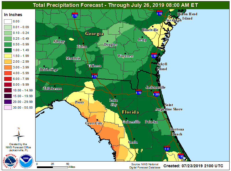
Regardless of tropical or subtropical development, shower and thunderstorm chances will be high, especially across North Florida through the weekend. Into Friday, many spots are expected to receive around an inch of rain (isolated locations could see significantly more). However, areas near the Gulf Coast, like Perry and Cross City, could see more widespread totals in the 2 to 4 inch range. Some flash flooding is possible. Remember, turn around, don’t drown.